A subdivision is the process by which a portion of land is divided into smaller portions, usually for sale. A Partition involves the
same process, except that it is apportioned among family members, not sold. Whereas it is very easy to draw lines to subdivide a
portion of land, it is more difficult to do so, while at the same time adhering to the regulations and standards that govern land
development.
Attention must be paid to the ratios of lengths by widths of the newly created portions, and the provision of services like roads,
electricity, water and sewage. Looking at the bigger picture, one must determine how the subdivision will impact on services in the
area, like education and health care.
The above facts stress on the need for Subdivisions/Partitions to be undertaken by a professional, not just someone who can draw
lines to subdivide a portion of land. At InterRegional Surveys Ltd., most of our workload is Subdivision surveys, so we are well
placed to see your project from concept to completion.
We liaise with certified engineers who provide detailed drawings for services like roads, drains, sewage, water and electricity, to
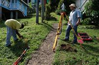
ensure that your subdivision will be approved without delay. We undertake the transformation of the one portion of land, by
setting out your roads and drains, and then carrying out the subdivision survey.
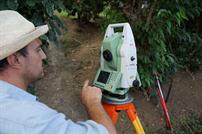
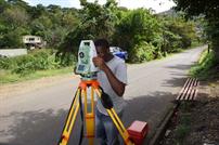
We use high spec Leica Total Stations and Digital Levels for all our work. These instruments allow us to record data electronically,
thus reducing fieldwork time, and at the same time reducing human errors. Our observations are also processed electronically,
therefore reducing calculation times, giving you a finished digital plan in a much shorter time than other methods.
Subdivisions / Partitions
Dedicated, Accurate and Economical Survey Solutions


