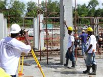
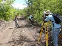
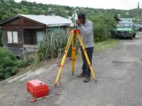
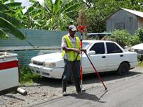
Dedicated, Accurate and Economical Survey Solutions
- Boundary Surveys
- Hydrographic Surveys
- Setting Out
- Subdivisions / Partitions
- Topographical / Detail Surveys
Boundary Surveys
At InterRegional Surveys Ltd., boundary surveys account for about 40% of our workload. We have team members with over 15
years experience in the conduct of these types of surveys, so it is quite likely that we have the technical knowledge and
experience to handle the most complex of Boundary Surveys. The types of boundary surveys we undertake include:
• General Boundary Surveys
• Fixed Boundary Surveys
• Encroachments
• Boundary Surveys to help resolve disputes
• Boundary Surveys to help resolve Land Ownership/Occupation issues
We conduct all boundary surveys with the utmost impartiality and integrity, ensuring that we arrive at the correct outcome,
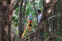
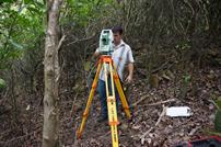
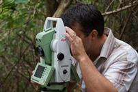
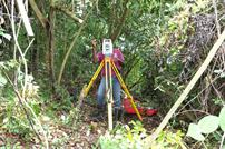
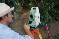
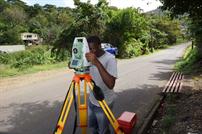
regardless who has employed us. Our surveys are executed using high spec Leica Total Stations, GPS and Digital Levels, so as to
ensure that we meet the specifications required of us. We employ electronic data recording, electronic data transfer and CAD
(Computer Aided Drafting), to help minimise both field observation and processing time, and reduce human errors.
Hydrographic Surveys
A hydrographic survey is the process by which the profile of any surface covered with water is determined. Hydrographic
surveys are required for a wide range of marine development projects, including:
• Monitoring and mitigating the effects of coastal erosion
• Erection of offshore structures
• Monitoring of Harbour, dam and river siltation levels
• Erection of berthing facilities
• Land reclamation
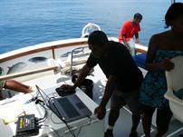
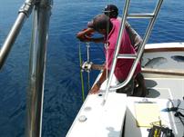
InterRegional Surveys Ltd. has staff with over 15 years experience in undertaking Hydrographic Surveys. Our team is qualified in
Hydrographic Surveying, so no project is beyond our scope.
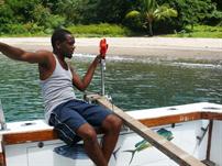
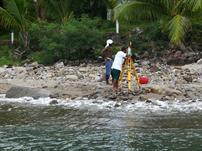
Our instrumentation ranges from a simple Total Station and prism setup, for shallow river and calm water surveys, to a boat with
onboard GPS and echo sounder, for offshore work.
Setting Out
Every construction project, whether it is a road, commercial building, or residential building, needs to be set out, before
construction begins. InterRegional Surveys Ltd. has a very proud and impeccable reputation in setting out, with experience
ranging from small commercial buildings to major construction projects that include roads and building complexes. We liaise with
engineers, contractors and architects, and use their drawings to set out to any specification required of us.
We guarantee the very highest of accuracies for all our work. To achieve that with consistency, we only use high spec Leica
Total Stations and Digital Levels, which all record data electronically, therefore reducing time spent in the field, while at the same
time reducing human error significantly.
Electronic data recording also helps to significantly reduce time taken for computations and results. Setting out reports can be
provided to the client within hours, allowing the engineers and contractors to commence construction soon after setting out is
complete, and with the confidence of knowing that the specifications have been met.
Subdivisions / Partitions
A subdivision is the process by which a portion of land is divided into smaller portions, usually for sale. A Partition involves the
same process, except that it is apportioned among family members, not sold. Whereas it is very easy to draw lines to subdivide a
portion of land, it is more difficult to do so, while at the same time adhering to the regulations and standards that govern land
development.
Attention must be paid to the ratios of lengths by widths of the newly created portions, and the provision of services like roads,
electricity, water and sewage. Looking at the bigger picture, one must determine how the subdivision will impact on services in the
area, like education and health care.
The above facts stress on the need for Subdivisions/Partitions to be undertaken by a professional, not just someone who can draw
lines to subdivide a portion of land. At InterRegional Surveys Ltd., most of our workload is Subdivision surveys, so we are well
placed to see your project from concept to completion.
We liaise with certified engineers who provide detailed drawings for services like roads, drains, sewage, water and electricity, to
ensure that your subdivision will be approved without delay. We undertake the transformation of the one portion of land, by
setting out your roads and drains, and then carrying out the subdivision survey.
We use high spec Leica Total Stations and Digital Levels for all our work. These instruments allow us to record data electronically,
thus reducing fieldwork time, and at the same time reducing human errors. Our observations are also processed electronically,
therefore reducing calculation times, giving you a finished digital plan in a much shorter time than other methods.
Topographical / Detail Surveys
Topographical / Detail Surveys are a very important part of any development project. These surveys provide 3-dimentional data to
designers, engineers and architects, so that the project can be designed for efficient use of the space available, while at the
same time keeping costs to a minimum. We conduct topographical / detail Surveys for
• Road Construction and maintenance
• Bridge Construction and maintenance
• Private Dwelling Construction
• Commercial Buildings Construction and maintenance
• Small and Large Scale developments
• Airport Runway and Taxiway Construction and maintenance
• 3-D Monitoring and Precise Leveling
With the suite of instruments we use from Leica, we can meet any specifications required of us. All our data is recorded and
transferred electronically, and processed via CAD (Computer Aided Drafting), so as to provide a field to finished plan ratio of 5 : 1
(5 days of fieldwork is processed in 1 day). Our surveyors have a wealth of experience in conducting topographical / detail
surveys, from small house plots to tens of acres of bushed lands, so no job is too big to handle.
We offer a full and comprehensive range of Land Surveying Services to our clients throughout St.Lucia and the wider Caribbean.
Please browse below to find out if we can help. Feel free to contact us at any time to request information or to discuss your needs.


